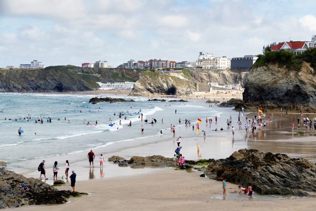
The British summer is set to finally end with this weekend as temperatures soar to 25C tomorrow.
Following a week of sunshine, the mercury could hit mid to high 20s on Saturday in eastern England, while the rest of the UK should reach at least high teens or low 20s.
Met Office meteorologist Emma Smith said: ‘As we go into tomorrow afternoon and evening, the temperature is starting to get a bit warmer.
‘We are looking to 21C to 22C as we go into tomorrow and the same into Saturday.
‘In eastern areas, we are likely to see 26C as a maximum temperature – this time of year we should have a maximum of 18C or 19C in London.’
Although it will be toasty, as the high pressure begins to move east the wind will pick up in western parts of the British Isles and could reach speeds of 45mph in parts of Wales, western Scotland and the Northern Irish coast.
The warm weather will not stick around for long as the tail end of Hurricane Humberto blows towards the UK from the Bahamas, bringing wind and rain from Monday – the first day of autumn.
Ms Smith said: ‘On Sunday, the temperature will start to turn downwards – we could still see a high of 24C but that will be quite isolated in the east of England.
‘From there on in, we do get unsettled weather day by day with temperatures falling down to where they should be for this time of year.
‘Hurricane Humberto is moving towards us and becoming very quickly downgraded so it’s not going to be a hurricane by the time it gets to us, but it will bring with it wet and windy weather.’
She added: ‘It will be quite unstable all next week with low pressure coming towards us through the jet stream.
‘On Tuesday there will be widespread showers – the heaviest showers will be in the South West with a few rumbles of thunder.
‘Most of the rain will be in the North West and there’s a risk of gales, so it will be quite an unsettled end to the month.’