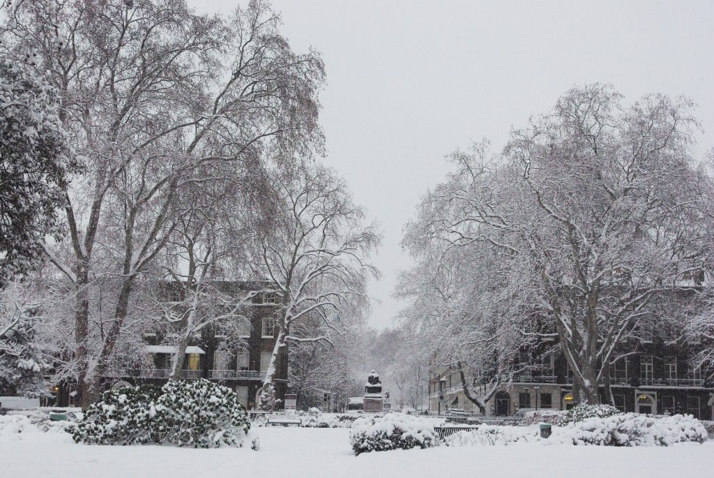
Up to four inches of snow could fall in southern England within days – potentially causing travel chaos.
The country will experience at least seven days of arctic weather, in which temperatures could plummet to as low as -10C amid wintry downpours and ‘freezing fog’.
It comes after the UK Health Security Agency (UKHSA) sent out a level three cold weather alert covering England until Monday.
A new warning issued for Sunday, which lasts for 24 hours, predicts that two to five centimetres of snow could fall quite widely and up to 10cm in the south of the country.
Forecasters say there is a chance of travel delays on roads, trains and planes, as well as power cuts and injuries from slips on ice, while communities could be ‘cut off’.
Met Office spokesman Grahame Madge said: ‘The outlook for the UK remains cold at least for the next seven days, with the potential for this to continue even longer.
‘At the moment the air mass which is feeding the cold conditions is coming from a northerly direction, even with an Arctic influence.
‘However, this air mass is also relatively drier so most of the precipitation is in the form of showers rather than continuous like you would get with a weather front. This has the benefit of bringing quite clear and bright conditions by day for many.
‘Along with the cold air there are a number of weather-related hazards including freezing fog, especially for Sunday and Monday mornings in the south of England.
‘Overnight temperatures are likely to dip widely below zero with some more sheltered spots dropping to -10C.
‘Our forecasters are looking at the possibility of snow affecting the south east of England on Sunday night and into Monday morning. If this happens it could bring some disruption to Monday’s rush hour.’
Temperatures fell late on Thursday to as low as -9C in the village of Benson, South Oxfordshire.
Much of Scotland has already seen snow, such as in the Highlands and Aberdeenshire, or flurries in the Central Belt.